The Beervlei Dam - Rietbron
- Rietbron
About The Beervlei Dam
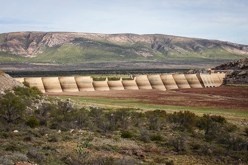

The Beervlei Dam was completed in 1957. It was built for the purpose of flood control on the Grootrivier, especially for the sake of the farming community in the Patensie area.
In 1961 the Kariega and Salt Rivers, the feeder rivers for the Beervlei Dam came down in flood and the dam overflowed for any length of time since it is flood control dam and not for irrigation purposes.
Whenever the dam receives enough water, the sluices are opened to make water available for irrigation on rotation basis for users downstream.
In 2001 the dam was almost at full capacity and the sluice gates were kept closed for some months. As a result the fish population increased and anglers recorded catches of Carp, Silver fish and Springers.
In recent years it has been noted that less and less water flows into this dam as a result of the construction of weirs upstream and also because the annual rainfall has dropped in the catchment area.
Beervlei Dam remains, however, a very interesting attraction. The picnic spot just below the wall remains a favourite stopping place for the passer-by.