Bergrivier 4x4 Trail
Contact Japie And Dorie Williams
- 042 286 0694
- 082 200 3350
- japiewms@bergrivier.com
- Visit Website
Location
- Longitude: 25.085902
- Latitude: -33.893055
- Map
Activities
- 4x4 Trails
- Bird Watching
- Hiking / walking
Languages
- English
- Afrikaans
About Bergrivier 4x4 Trail
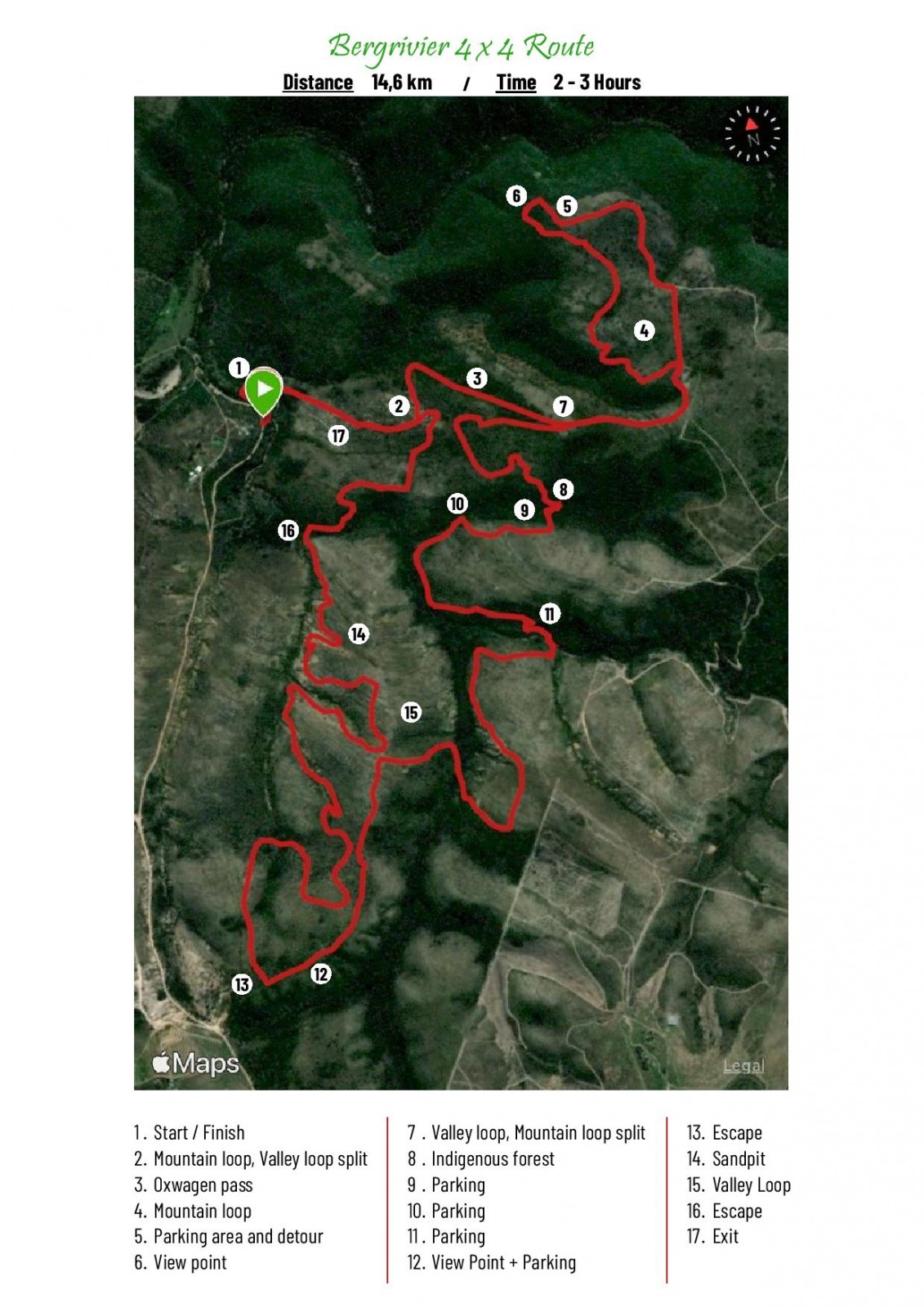
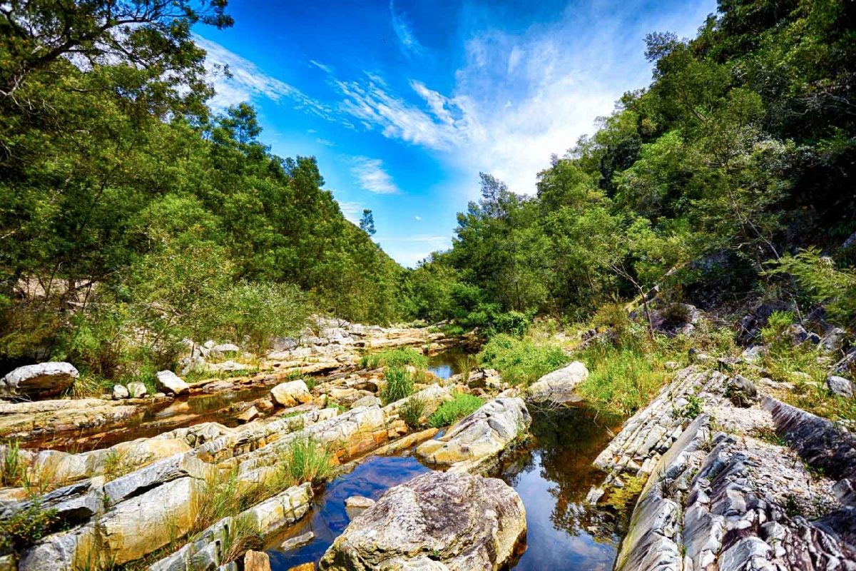

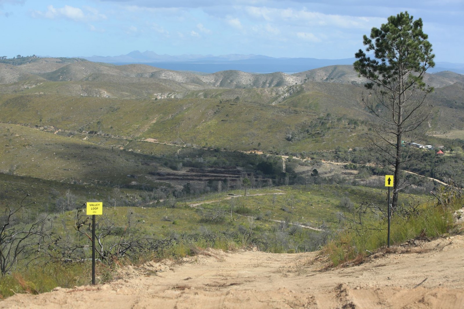
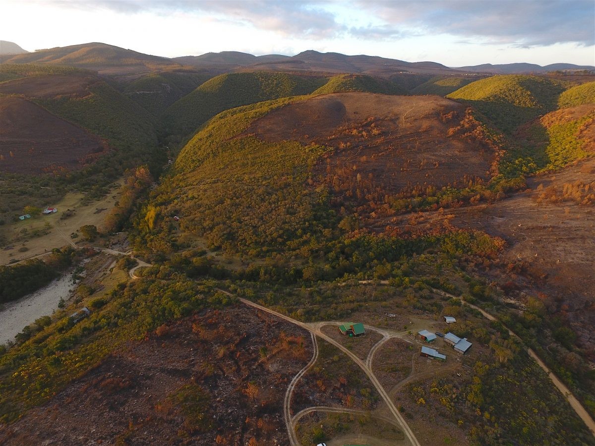
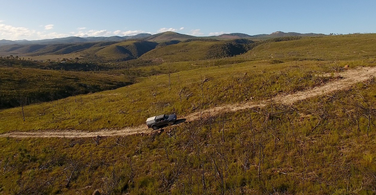
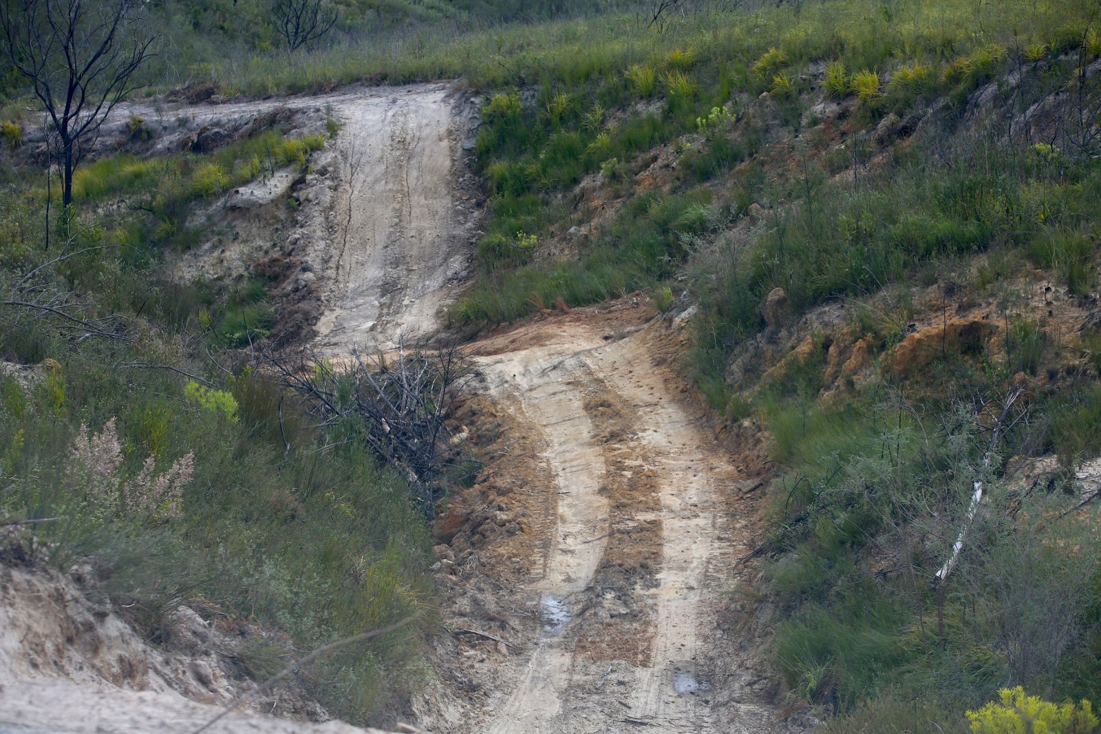
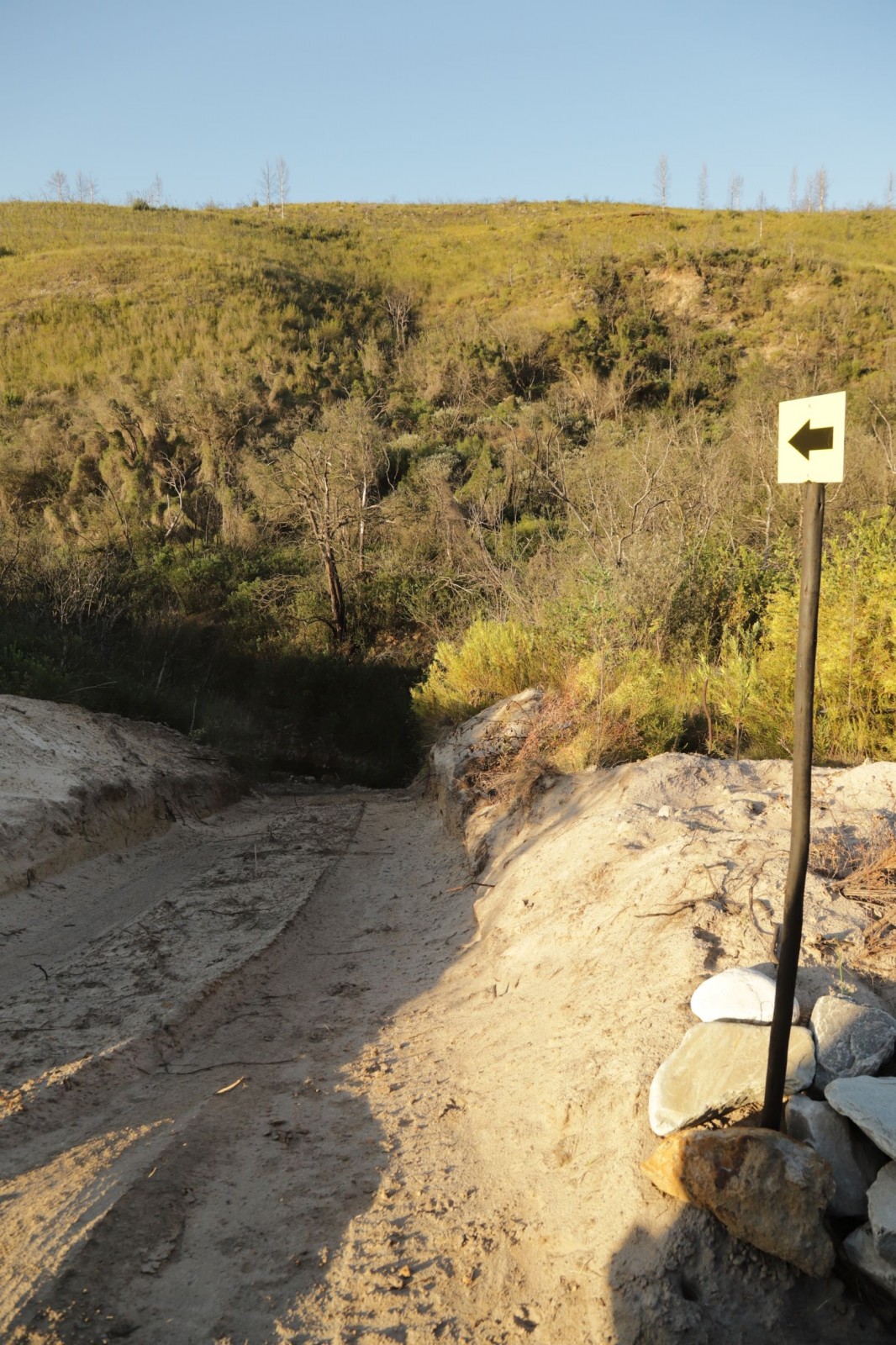
New and exciting addition to Bergrivier. Our 14,6km 4x4 route.
Grade 2-3.
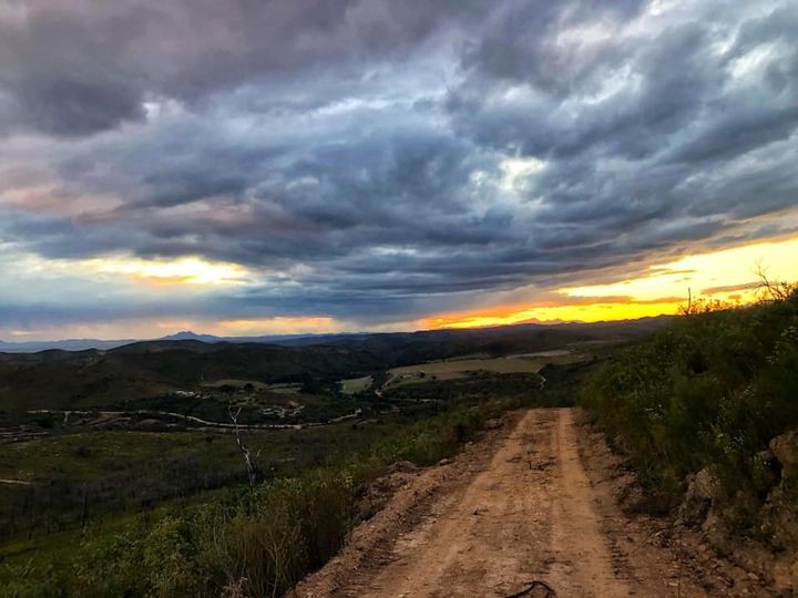
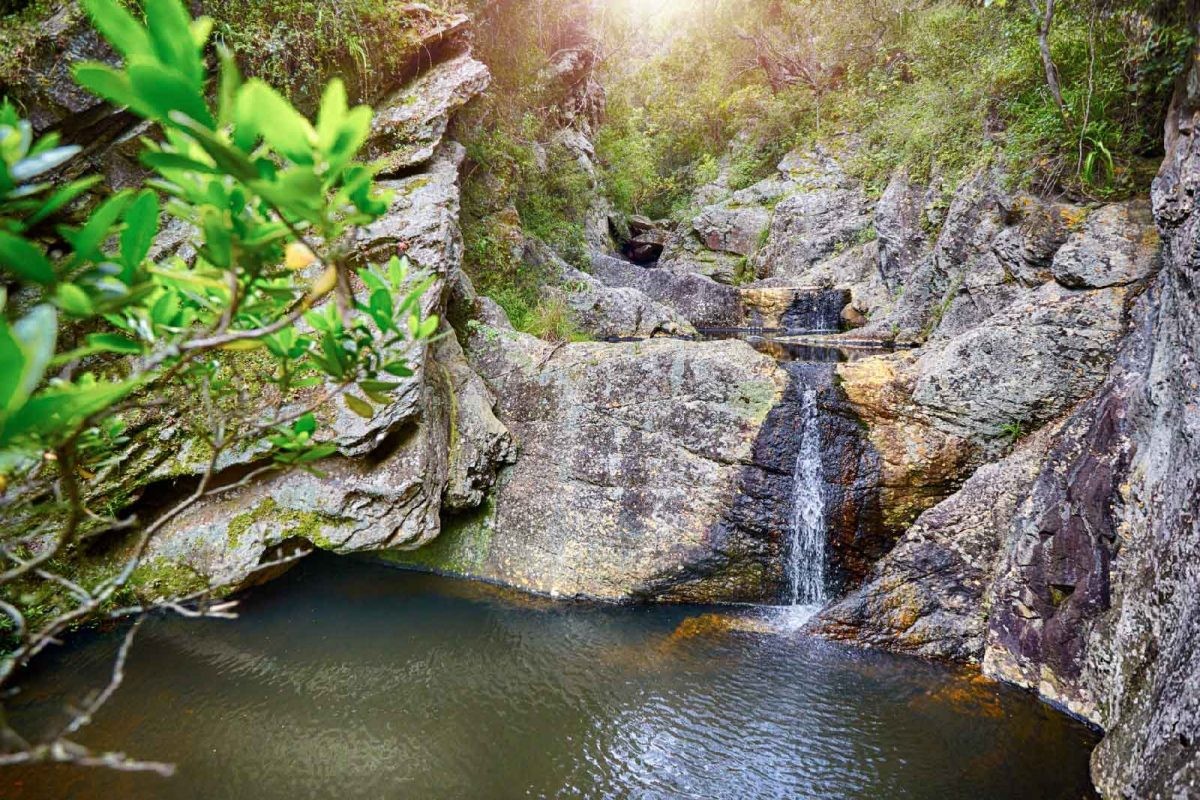
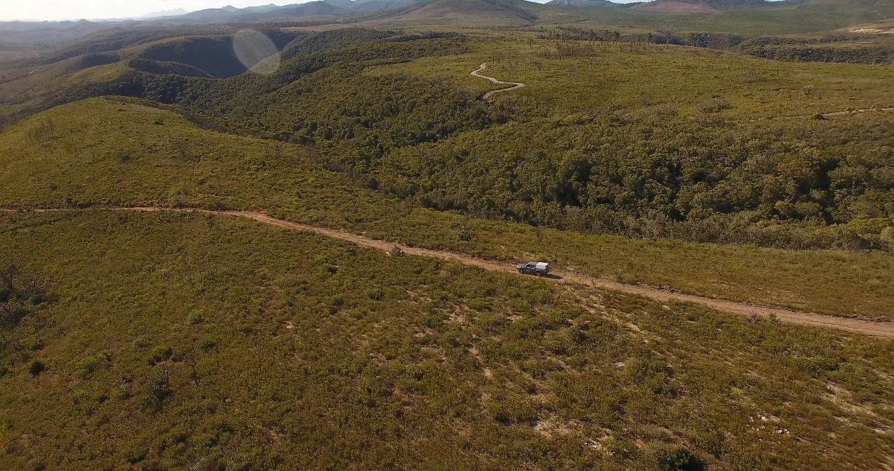
Beautiful scenic drive on top of mountains, an old ox wagon road, scenic valleys, fynbos and indigenous forest.
There are also 6 hiking trails to choose from for those who prefer to walk.
Bookings are essential. For more information, call us on 083 230 6910.
Map and Directions to Bergrivier 4x4 Trail
Directions from Port Elizabeth
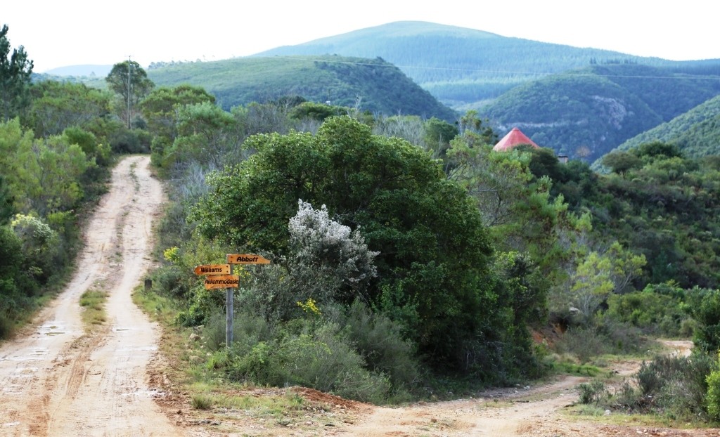
Take the N2 from Port Elizabeth towards Jeffreys Bay. 10 km after the Van Stadens River bridge follow the turn-off to Hankey (R331). Drive another 3.5 km. Turn right at the Bergrivier signpost. Drive another 2.5 km along the gravel farm road. At the signpost "Accommodation", turn to your left to reach the guest facilities at the top of the hill.
Directions from Jeffreys Bay
From Jeffreys Bay take the N2 towards Port Elizabeth, 10 km after you have crossed the Gamtoos River, follow the turn-off to Hankey (R331). Drive 3.5 km and turn right at the Bergrivier signpost. Drive another 2.5 km along the gravel farm road. At the signpost "Accommodation", turn to your left to reach the guest facilities at the top of the hill.